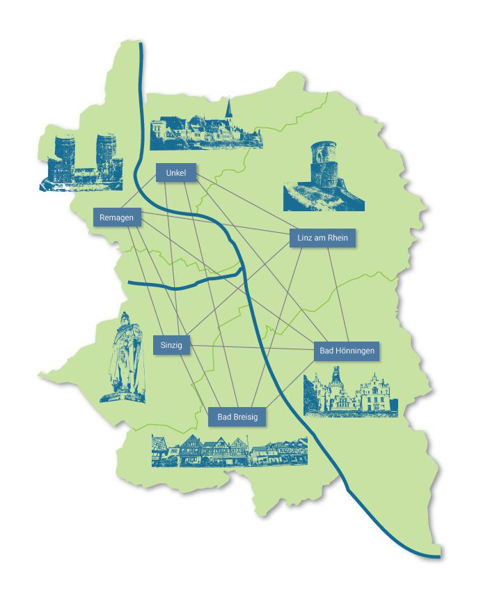
The Rhein-Ahr LEADER region is made up of the four municipalities of Bad Hönningen, Bad Breisig, Unkel and Linz am Rhein as well as the two independent towns of Remagen and Sinzig. With the exception of the two towns, all partners have already gained experience as part of a LEADER region. On the left bank of the Rhine, this experience comes from the former LAG Rhein-Eifel and on the right bank from the former LAG Rhein-Wied. The region is located in the two districts of Ahrweiler and Neuwied. The aim of the cross-Rhine merger is to tackle common challenges in the region and leverage existing potential.
The region covers a total area of 262.7 km2, 21 local communities and 90,000 inhabitants.
The natural classification of the LAG area is divided into the foothills of the Eastern Eifel in the west, the lower Middle Rhine region in the center and parts of the Westerwald low mountain range in the east. The entire region is part of the Rhenish Slate Mountains and, from a small-scale perspective, is based on a large number of different natural units, in particular several mountain ranges (e.g. Rhein-Westerwald volcanic ridge), terraces (e.g. Brohl-Sinzig terrace area) and valleys (e.g. Linz-Hönnig valley widening).